
Walk a Valparaiso Street Record
A sound by-address search moves from the physical site to the records that describe it. Ownership is public evidence, but it is not the same as occupancy. A tax mailing address may belong to an owner, trust, or agent in another city. Start with the exact street line and preserve every parcel number and legal description found along the way.
- Enter the address in the Porter County Assessor/XSoft search. Record the owner, situs address, mailing address if shown, parcel number, district, and latest data date.
- Open the county GIS hub. Identify the parcel, then inspect the parcels on both sides of the street.
- Use the owner as grantee in the Recorder's free Direct Search. The purchase deed supplies the stable legal description and the seller's name.
- Confirm a known person's registration through IndianaVoters only when name, birth date, and county are already known. It is not a public street roster.
- For an older household, consult a street or criss-cross section in a dated directory and verify the old address against plats or Sanborn maps.
The resulting chain is address to parcel, parcel to owner, owner to deed, and dated directory entry to past household. It avoids the common error of calling every name tied to a property a current resident.
Valparaiso Street Search Fields
XSoft accepts an owner, address, or property number in its main box and begins suggesting matches after three characters. Broad street text can return unrelated Porter County properties, so compare the city, parcel number, assessed class, and district before opening a card. The advanced page has no ZIP field, but it can narrow a block by physical traits.
| Field | Control | Useful street task |
|---|---|---|
| Owner, address, property number | Main text search | Find the subject parcel or known owner |
| Sale date and price | Optional ranges | Separate recent transfers from older cards |
| District and neighborhood | Searchable lists | Distinguish city and township labels |
| Year built and living area | Numeric ranges | Compare similar parcels along one segment |
| Building style and class | Searchable lists | Spot homes, institutions, condos, and vacant parcels |
A property card may include sales, transfer history, land and improvement details, sketches, valuation, taxes, documents, and photos. Availability varies by parcel, and protected addresses may be withheld under Indiana law.
The manifest capture comes from the Porter County tax parcel GIS layer.
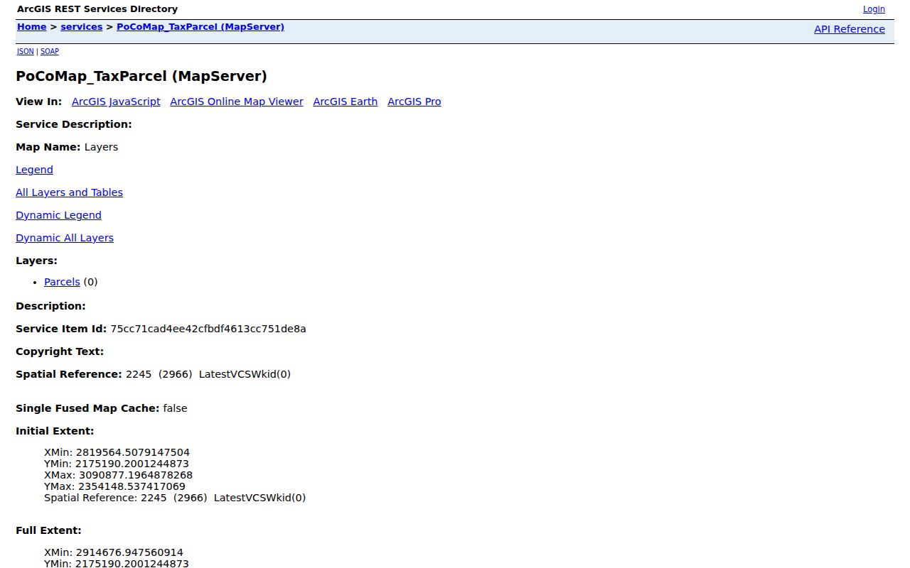
The layer supplies parcel geometry and identifiers for a street search, not proof that any named person lives there.
Valparaiso Records Indexed by Address
No single Valparaiso street directory contains every record role. The table separates the official sources by their key, custodian, and limit. Dates should be captured because each portal refreshes on its own schedule.
| Address layer | Keeper | Person or property clue | Access and limit |
|---|---|---|---|
| Property card | Porter County Assessor | Owner, situs, mailing, sale, class | Free XSoft; owner is not occupant |
| Tax parcel map | County GIS/Auditor | Parcel, roads, buildings, jurisdiction | Free map and REST data; attributes vary |
| Deed index | Porter County Recorder | Grantor, grantee, type, date, legal description | Direct Search from early 1978; images and old books separate |
| Permit or code file | Valparaiso Building/Code | Project, applicant, contractor, inspection | Counter or particular APRA request; no result database found |
| Historical directory | PCPLS and State Library | Dated occupant, business, address | Selected 1885 through 2015 volumes |
The parcel number ties the assessor and GIS records together. The legal description then carries the search into deeds and plats even when the street number changes. A historical occupant trail belongs in the Valparaiso city directory collections, while this street directory keeps its focus on the current address chain.
Map Valparaiso Parcels by Street
The county's confirmed GIS layers include parcels, parcel numbers, roads, buildings, municipalities, townships, sections, condominiums, and county boundaries. Zoom until parcel lines appear, identify one lot, and record adjacent parcel numbers. The county guide also describes Select, Buffer, Measure, and print tools. A narrow buffer may produce an owner list for nearby parcels, though combined parcels and no-data lots require a manual check.
Municipal and township layers matter around Valparaiso. Assessor districts include Valparaiso (Center), Valparaiso-Washington, Morgan-Valparaiso, and related MTE labels. A Valparaiso postal address can lie outside the corporate boundary, so the district and municipal layer are better jurisdiction evidence than the ZIP alone.
- Parcel
- A mapped unit of land with its own county identifier.
- Situs address
- The physical location of a parcel, distinct from the tax-mail destination.
- Plat
- A recorded map of lots, blocks, subdivisions, easements, or boundaries.
- Criss-cross directory
- A directory arranged by street and number rather than only by surname.
Follow Valparaiso Deeds Along Streets
The Recorder's free Direct Search indexes names, recorded dates, and document types back to early 1978. It carries no images and warns of a seven-day delay. Search the current owner as grantee, capture the purchase document, then search that deed's grantor as an earlier grantee. Repeat with the same legal description.
When an image is needed, Tapestry currently states $8.75 per search. Laredo is the subscription channel. Older ledger books and microfilm remain at the Recorder's office, where public terminals support research. Mortgages, releases, liens, affidavits, easements, and assignments are not sales, so read the document type before adding a name to an ownership timeline.
Portal comparison. Free Direct Search is the best index check, Tapestry adds paid images, and the office counter bridges the pre-online years.
Valparaiso Street Permits and Code
The city publishes forms and department information, but the research found no public database of permit or code results by address. A useful request names the street number, street, parcel, record type, and date range. Ask for permits, inspections, code cases, or site-review records separately. A city archive keyword search may also reveal an annexation, right-of-way action, ordinance, or Board of Works item tied to the street.
The Valparaiso Building page is the source captured below.
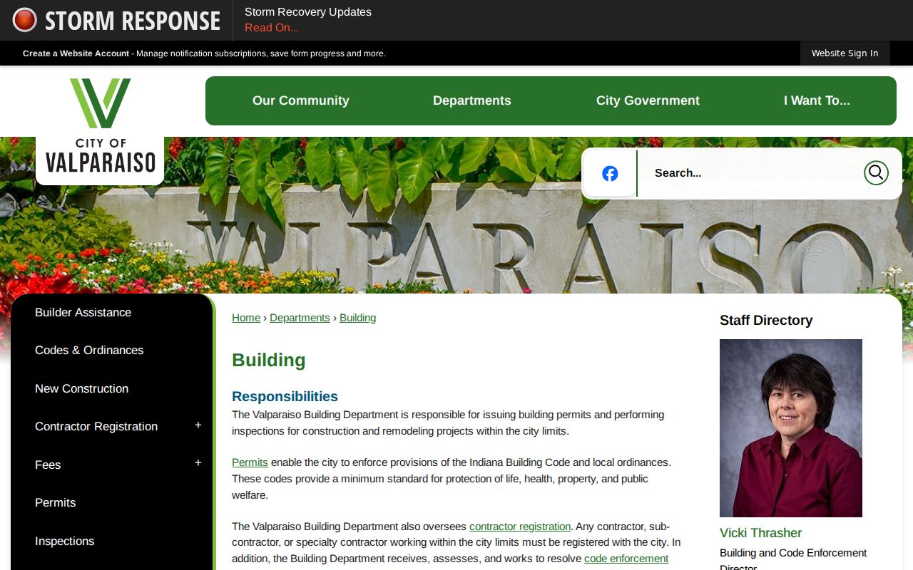
Use its permit route as an access channel, then identify the exact address and record span in the request.
The companion Valparaiso Code Enforcement page provides the second city channel.
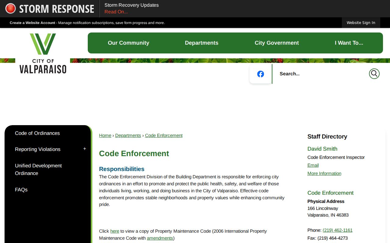
Code records describe a case or condition at an address. They do not establish a complete household list.
Translate Old Valparaiso Street Numbers
The 1893 and 1902 city directories expose a numbering change that can break a literal backward search. The exact implementation date and a formal conversion chart were not found. Keep the old number and corner wording intact, then compare the directory page with a Sanborn map, subdivision plat, legal description, and current GIS parcel.
Current city code uses 330-foot grid intervals. Lincolnway is the east-west baseline and Washington Street the north-south meridian, with named eastward anchors in the code. That modern grid can guide a comparison, but it should never silently replace the printed historical address. The stable bridge is the lot, block, subdivision, section, or other legal description.
Note: An old street number is a dated source fact, not an error to correct before matching it to modern parcel geography.
Older Valparaiso Blocks in Scans
A 2021 ARPA project digitized Porter County Auditor tract, plat, transfer, and hanging-section records. The Historical Property Records page links the official folders. Search tract books by section, township, and range; plats by those keys plus subdivision; transfer books by township and owner surname; and section plats by section and township.
This scan set is useful when a current street address has no clear match in the Recorder's online period. It can connect an old owner or tract to a legal description before the search returns to a deed image. The project is a preservation and access layer, not a live Valparaiso street directory.
Valparaiso Street Records Offline
Online results are only the first access channel. The Porter County Recorder at 155 Indiana Avenue, Suite 210, has public terminals and the older books, ledgers, and microfilm that precede Direct Search. Bring the parcel number, legal description, owner variants, and a narrow date span. The office can route a request, but its published guidance says staff will not conduct a full phone search. Call 219-465-3465 to confirm the current counter procedure before visiting.
The Assessor can be reached at 219-465-3460 for property-card questions, while Auditor and GIS staff handle tax-map and transfer material. A mailed copy request to the Recorder works best after the book, page, or document number is known. For city permits or code matters, use the city counter or a written APRA request. Indiana APRA requires a reasonably particular description, so list the address, parcel, type of file, and inclusive dates rather than asking for everything tied to a street.
Library and archive channels close the oldest gaps. PCPLS holds city directories, yearbooks, newspaper resources, and local indexes. The State Library adds maps and directory call numbers, while PoCo Muse can receive a focused inquiry about a building, family, or neighborhood. These sources supply context when an online owner search stops at the late twentieth century.
Valparaiso Voter Records by Street
IndianaVoters confirms a specific registration using first name, last name, date of birth, and county. It does not let the public browse everyone on a Valparaiso street. Porter County Elections can address a legitimate precinct or file request under Indiana election rules, but restricted copies redact protected fields and Address Confidentiality Program participants remain confidential.
The unrestricted annual voter file is a regulated $5,000 subscription, not a casual directory search. Contact Porter County Elections and Voter Registration at 219-465-3485 with the precinct, date, and requested format rather than trying to infer a street list from individual confirmations.
Limits of Valparaiso Street Directories
A parcel card proves what the assessor published about land and ownership on its data date. A deed proves that an instrument was recorded. A permit shows an application or project. A voter result confirms registration under its rules. None of these alone proves who is inside a home today, and a directory omission does not prove that a person moved.
Utility customer details and motor-vehicle address data are not open substitutes for a household roster. Protected-address rules may also remove a name or address from public display. For a record that is not online, make a reasonably particular request under the Indiana Access to Public Records Act and allow the custodian to identify redactions.
Lawful use. Use Valparaiso address records only for lawful personal research, property questions, family history, or civic review. Never stalk, harass, threaten, or harm anyone.